During our annual visit the Phoenix area, between watching our Mariners in Spring Training, visiting with family, and enjoying the break from gloomy Seattle weather, we always make time for a family hike in the desert. So far, we’ve hiked in the White Tank Mountains, around Lake Pleasant, and explored Glendale’s Thunderbird Park. Each of these hikes have allowed us to connect with natural environment that can often get overshadowed by the flurry and excitement of travel (combined with suburban sprawl).
On our most recent trip this past March, we ventured northeast of Phoenix to Cave Creek Regional Park. In anticipation of visiting the area, I often scope out new (to us) parks by simply pulling up our location (the Peoria area) in google maps. I then pore over the the screen, zooming in and out, looking for green spaces.
When I find one that looks interesting, I find the driving distance and time estimation. Our general rule considering the ages of our kids, and the goal to be back for afternoon nap time, is to choose something within a 45 minute drive. Cave Creek Regional Park definitely fit the bill!

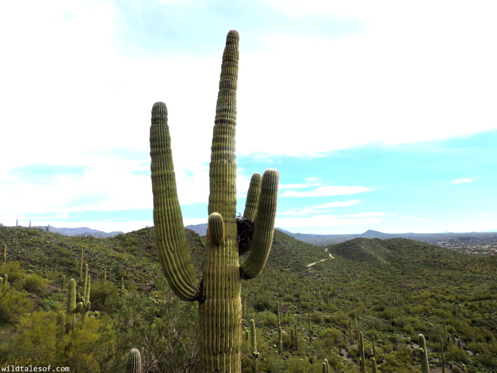
For our first visit to Cave Creek Regional Park, we opted for an easy 3-mile loop that provided us with plenty of cactus and wildflower viewing, plus gorgeous mountain vistas and the chance to study the local geology. Specifically, we hiked the Slate Trail to the Quartz Trail, then went southwest on the Go John Trail, and back to the trail head via the short Jasper Trail. For a peek into our journey, you can watch our quick video!
Info to Know:
- Our Route: Slate Trail (with quick detour to the “Michelin Man” cactus) to the Quartz Trail, then SW on the Go John Trail, and back to the trail head via the Jasper Trail.
- Length: About 3 miles
- Elevation: From 2,000 feet to 3,060 feet
- Location:
- 37900 E. Cave Creek Parkway
Cave Creek, AZ 85331 - Visit their website for directions & nature center hours
- 37900 E. Cave Creek Parkway
Tell us about your favorite desert park or hike! We know we’ll back to Cave Creek Regional Park next spring.

 Best Hikes in Phoenix’ West Valley: 3 Levels of Family Friendly Hiking
 Mount Rainier National Park with Kids: Staying at Paradise Inn (+Video)
 Seattle Area Kid Hikes: Lund’s Gulch/Meadowdale Beach Park
 Fall Visit to Gold Creek Pond (Snoqualmie Pass, WA) with Kids
Leave a Reply